With energy companies SIG and Viteos, and IT startup geoimpact, we are working to build tools that bring geospatial energy analysis and planning algorithms to practitioners.
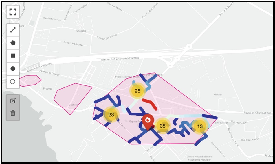
On the basis of our past and current research, we initiated a related project to develop interactive tools to assist in quick planning and assessment for regional thermal energy planning, with a particular focus on planning of district heating systems using previously published methodology.
Relevant paper: Chambers, J. (2020). Computationally scalable geospatial network and routing analysis through multi-level spatial clustering. MethodsX, 7, 101072. https://doi.org/10.1016/j.mex.2020.101072